Geography Of The World
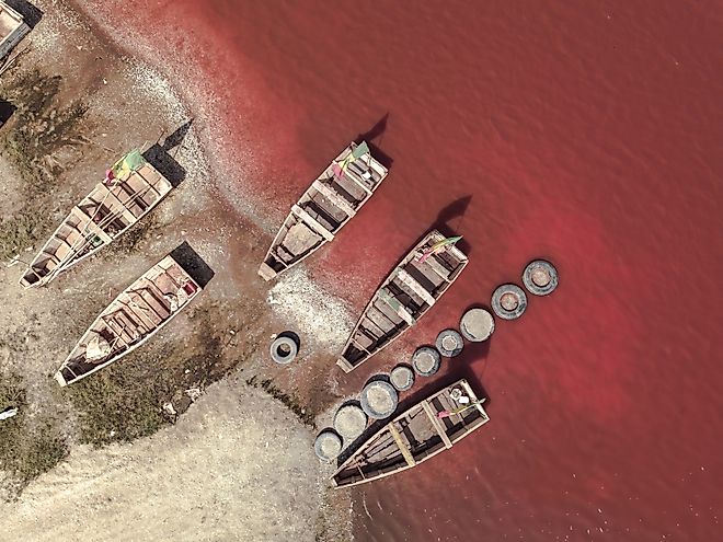
Lake Retba
Lake Retba, also known as Lac Rose, is a pink lake in West Africa located on the edge of Cap Vert Peninsula in Senegal.
10 Largest Lakes In North America
There are 64 different noted lakes in North America. The following lakes are the top 10 largest lakes (by surface area) in North America.
Pico de Orizaba
Pico de Orizaba, also known as Citlaltepetl Volcano in the Nahuan language, is an inactive stratovolcano and Mexico’s highest mountain.

Great Smoky Mountains
The Great Smoky Mountains, popularly known as the Great Smokies or the Smokies, is a mountain chain in the Southeastern United States.

Sanibel Island
Sanibel Island is a small island in Lee County, Florida measuring 19 kilometers in length, and 4.8 kilometers across.
Andes Mountains
Also referred to as “Cordillera de los Andes” in Spanish, the Andes Mountains is the world’s longest mountain range that stretches for more than 6,999km.
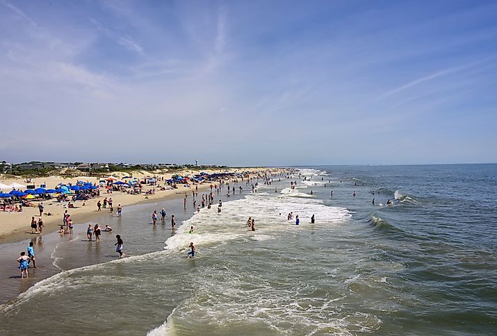
Tybee Island
Tybee Island is a barrier island in the state of Georgia, United States. It is located along the eastern coast, about 29km to the east of the city of Savannah.
Bribie Island
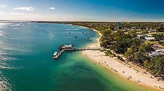
Bribie Island is located off the coast of Queensland, Australia, in the Coral Sea, and is the smallest of the three main islands.

Do People Live In Antarctica?
Antarctica has no permanent human population. The continent has never had an indigenous human population, largely due to its inhospitable climate.

Lake Ohrid
Lake Ohrid is one of the world’s deepest and oldest lakes, thought to be 4-10 million years old. It is the deepest lake in the Balkan Peninsula.

Jura Mountains
The Jura Mountains is a mountain chain on the north of the Alps located along the Swiss-French border. The sub-alpine mountain range mostly lies in Switzerland.
Mount Shasta
Mount Shasta is a 4,321.8m high mountain that is situated at the southern tip of the Cascade Range in the Siskiyou County.
Mount Whitney
Mount Whitney is located in the region of Sierra Nevada mountain range, California. It is the highest peak in the contiguous United States.
Lake Skadar
Lake Skadar is Balkan Peninsula and Southern Europe’s largest lake by surface area. Besides the natural beauty, ancient churches, monasteries, and fishing villages are common sites around the lake.
Lake Vyrnwy
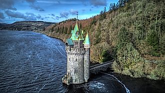
Lake Vyrnwy is an artificial reservoir and a critical nature reserve located in Powys, Wales. It is one of the most beautiful water bodies in Europe.
Hollingworth Lake
Hollingworth Lake is a reservoir located in Smithy Bridge, England. It was completed in the early 19th century to feed the Rochdale Canal.
Rottnest Island
Rottnesst is located off the western coast of Australia, near mainland Perth. It has an area of approximately 19 square kilometers.
Saguaro Lake
Saguaro Lake is a reservoir created by the damming of the Salt River by the Stewart Mountain Dam as a part of the Salt River Project.

Raystown Lake
Raystown Lake is a reservoir created by the damming of the Raystown Branch of the Juniata River by the Raystown Dam.

Torch Lake Sandbar
Torch Lake is a lake in the US state of Michigan. The lake itself measures 31 kilometers and is Michigan’s longest inland lake.

Aleutian Islands
Formerly referred to as the Catherine Archipelago, the Aleutian Islands are a chain of volcanic islands, a major portion of which belongs to Alaska.

Mount Fuji
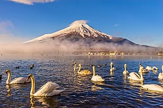
Rising to an elevation of 3,776.24m, Mount Fuji - also referred to as “Fuji-san” in Japanese, is considered the tallest mountain in Japan.
Lake Garda
Lake Garda is Italy’s largest lake by surface area and a popular holiday destination in the northern part of the country.

OECD Countries
The OECD, which stands for Organization for Economic Cooperation and Development, is an international governmental organization with 38 member countries.

10 Volcanoes Worth Seeing Around The World
The volcanoes on this list are also set amongst some of the most scenic landscapes in the world. You can visit them to explore their dramatic natural beauty.

Cherry Creek Reservoir
Cherry Creek Reservoir is a reservoir that has been created by the damming of the Cherry Creek – a tributary of the South Platte River.
Ojos del Salado
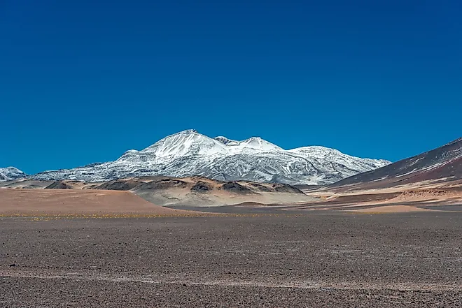
Nevado Ojos del Salado is the world’s highest active stratovolcano. It is located in the Andes Mountain Range on the boundary between Chile and Argentina.
World's Only Carbon-Negative Country
One country, however, has managed to move beyond carbon neutrality and make itself carbon negative. That country is Bhutan.
Selenga River
Selenga River is a major transboundary waterway in East Asia and Lake Baikal’s largest tributary, accounting for about half of the Lake’s surface water influx.
Amur River
Amur River, also known as Heilong Jiang, is a major waterway in East Asia and the world’s 10th longest river and China’s third-longest river.
ASEAN Countries
ASEAN stands for the Association of Southeast Asian Nations. As its name implies, it is a grouping of countries in the region of Southeast Asia.

Kern River
Originally named the Rio de San Felipe and La Porciuncula, the Kern River is a 270-kilometer-long river in California, United States.

Nanticoke River
Nanticoke River is the largest river flowing into the Chesapeake Bay. It is Delaware’s 4th longest river after Delaware, Choptank, and Pocomoke Rivers.

Mount Rainier
Mount Rainier is a 4,392-meter-high mountain that is situated in the Cascades of the Pacific Northwest in Washington, United States.

Mount Vernon
Located to the south of Washington D.C, Mount Vernon is the home and former plantation complex of the United States’ first President, George Washington.

Mount Sinai
Traditionally referred to as Jabal Musa, Mount Sinai is a 2,285-m-tall mountain that is situated in the south-central part of the Egyptian Sinai Peninsula.


